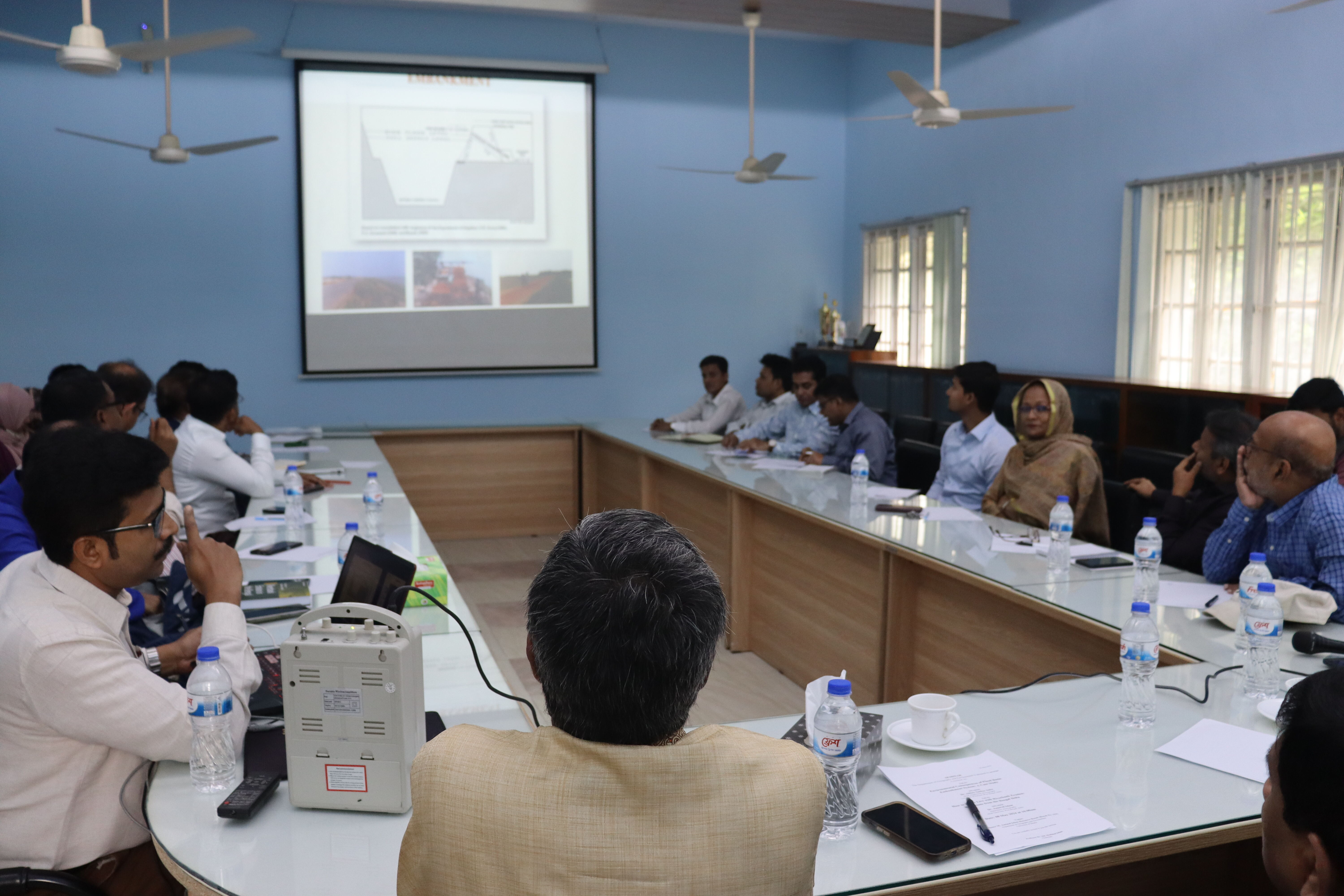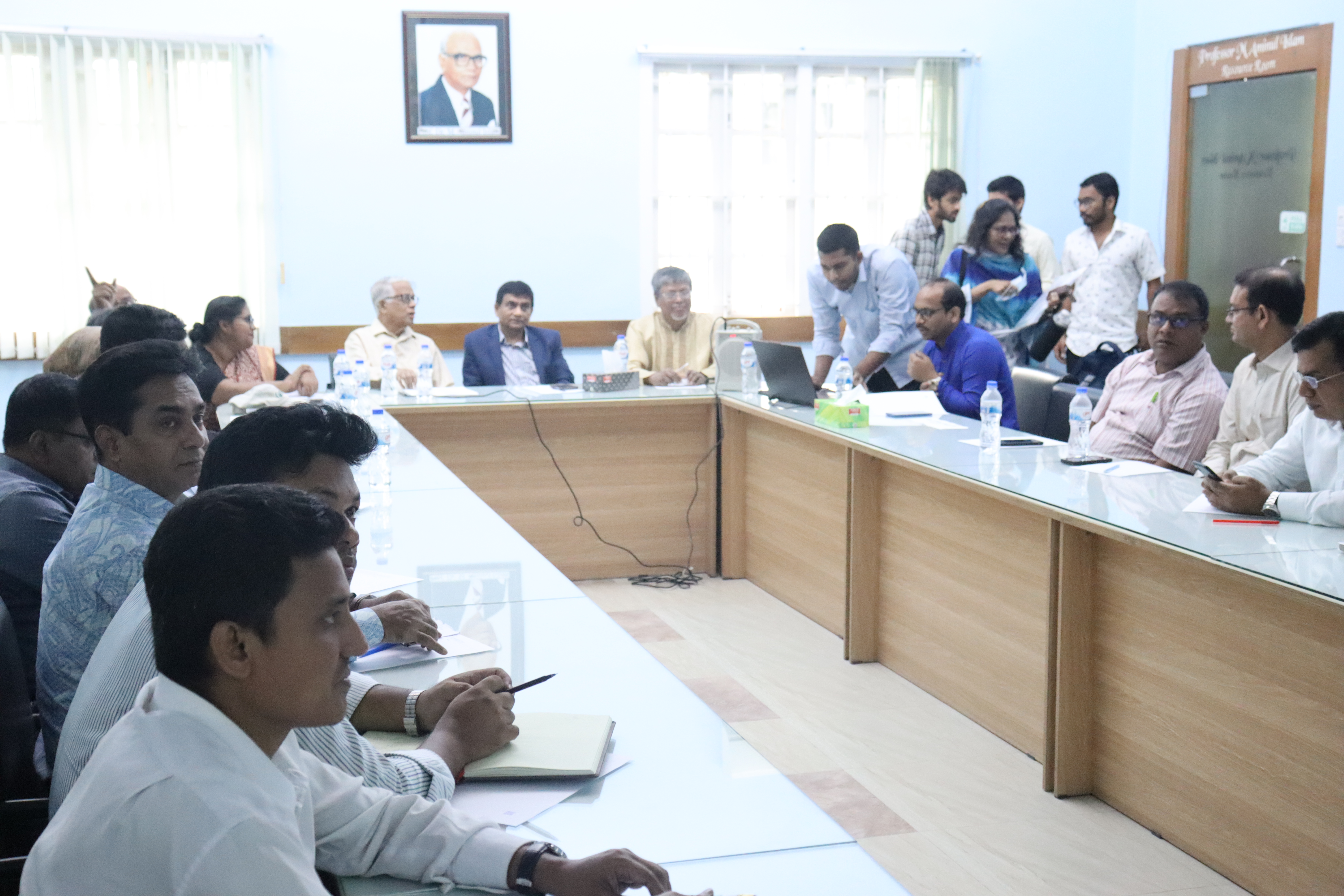
On May 8, 2024, a seminar was organized by the Department of Geography and Environment at the University of Dhaka, in collaboration with the Disaster Research Training and Management Centre (DRTMC), Department of Geography and Environment at the University of Dhaka where Dr. Abhay Sankar Sahu, Head and Associate Professor, Department of Geography, University of Kalyani, West Bengal, India, delivered a keynote speech on “Environmental Consequences of Flood Basin Embankment System: A Case Study”. Following Professor Sahu’s enlightening discourse, Dr. Aznarul Islam, Assistant Professor, Department of Geography, Aliah University, West Bengal, India, presented his study titled “How to Better Live with Riverbank Erosion: Reflections from the Bengal Delta”.
Professor Dr. Md. Zillur Rahman, dean of the Faculty of Earth and Environmental Sciences, University of Dhaka was the chief guest and Professor Dr. M. Shahidul Islam, Chairman, Department of Geography and Environment, University of Dhaka was the chair of the seminar. Maliha Haque, Lecturer, Department of Geography and Environment, University of Dhaka moderated the program.
The seminar was enlightened by the presence of Emeritus Professor Nazrul Islam and Professor Dr. Amanat Ullah Khan, Department of Geography and Environment, University of Dhaka. Moreover, agricultural scientist, academicians, MS and PhD students were present at the program. The seminar ended with vibrant discussion and active participation of the experts and audiences.

Summary: Embankment is a non-linear complex structure for protecting people and land from flood prone rivers. The embankment system is quasi-natural because while it is constructed by humans for specific purposes such as flood control, water storage, or transportation infrastructure, it interacts with and is influenced by natural processes and environments. Moreover, it is an open system that transfers energy and matter between the four spheres of the earth.
The embankment system undergoes three distinct phases throughout its existence. Firstly, there's the initial phase, during which it is under construction. Secondly, it reaches a mature stage where it's fully constructed, well-maintained, and operational, serving its intended purpose. Lastly, it enters a denuded stage, characterized by deterioration and erosion, requiring reconstruction and thorough maintenance following proper engineering practices. Essentially, the embankment system mimics a living organism in our environment, with a lifecycle spanning from construction (its birth) to years of service in maturity, and eventually succumbing to aging, erosion, and degradation in its later stages.
A study was conducted in Moyna Basin in Purba Medinipur District, West Bengal. The basin has four embankments in Kasai, Chandia and Keleghai river. Topographical maps (SOI 1972, 1973, and 1976), Shuttle Radar Topography Mission (SRTM) Digital Elevation Map (DEM) of 30 meter spatial resolution (USGS 2014), Resourcesat 2 Linear Imaging Self-Scanning (LISS) IV images of the years of 2012 and 2014 and Bhuvan web data (2005-2006) of NRSC (2014) based on Resourcesat 1 (LISS III) images was used in this study.
In the Moyna basin, various factors such as stream order, drainage frequency, drainage density, and others show a positive correlation with WI/WL. Conversely, constants of channel maintenance, length of overland flow, shape factor, and others exhibit a negative correlation with WI/WL. Factors like circularity ratio and compactness coefficient do not show significant responses. Additionally, some factors like slope and embankment density differ from widely accepted general laws. The relationship between WI/WL and hydromorphological factors can vary over time and location, necessitating idiographic studies, especially in small-scale basin areas like Moyna.
Although embankments have detrimental effects on the environment, they have advantages for people. They act as control systems, changing the distribution of matter and energy and affecting sustainable development in the short and long term. As a result, integrated flood mitigation strategies are necessary for the sustainability of floodplains.
Summary: Riverbank erosion or fluvial erosion is a fundamental process in response to the hydrologic cycle. There are four approaches to study erosion: Natural approach, Anthropogenic approach, Hazard approach and Rational approach. In fact, riverbank erosion has an interdisciplinary characteristic where both Physical science and social sciences are necessary to ensure the safety of people living near the river banks.
The Ganges-Brahmaputra-Meghna (GBM) delta building process is dependent on the upstream riverbank erosion. Alongside, erosion is prevalent in the delta as well. Therefore, people need to cope with the bank erosion. Two types of coping strategies, viz., hard engineering and social engineering can be implemented. Hard engineering includes civil engineering measures like hard material protection, barrier across the river, dumping of geobags, flow area expansion and so on.
Bioengineering techniques are eco-friendly, cost-effective and help in conserving the functional and taxonomic biodiversity of plants in river banks. For example, Vetiver grass (Vetiveria zizanioides) is used for slope stabilization along the river. Kans grass and bamboo have a great sand binding capacity and hence play an important role in bank protection. However, this technique may backfire because of selection of unsuitable species, large flood washing out the root system before stabilizing the bank, insufficient rainfall and drought during plant establishment and unsuitability of soil for root penetration.
Social engineering is a community-level manipulation technique. It includes both in-situ and ex-situ models to build resilience against river bank erosion. Example of an in-situ model can be the Matiari Model (Non-land-Based Household Manufacturing). Maitiri is a village in West Bengal which transitioned from agrarian to household brass manufacturing due to expertise brought by retired brass workers from Kolkata, leading to a shift away from agriculture and towards brass production as the primary occupation after a setback in the agrarian economy caused by bank erosion. Moreover, fishing in paleochannel, animal husbandry, handloom and indigenous small scale cottage industry can be developed in terms of in-situ measures. On the contrary, Labour migration model and densification of settlements are part of the ex-situ model.
An integrated framework for regional planning may be devised to foster participatory development, incorporating essential elements from geology, hydrology, climate, drainage patterns, hazards, demography, economy and society. Future initiatives in this domain may entail the formulation of collaborative plans between the Indo-Bangladesh regions, leveraging research insights to inform strategic interventions.