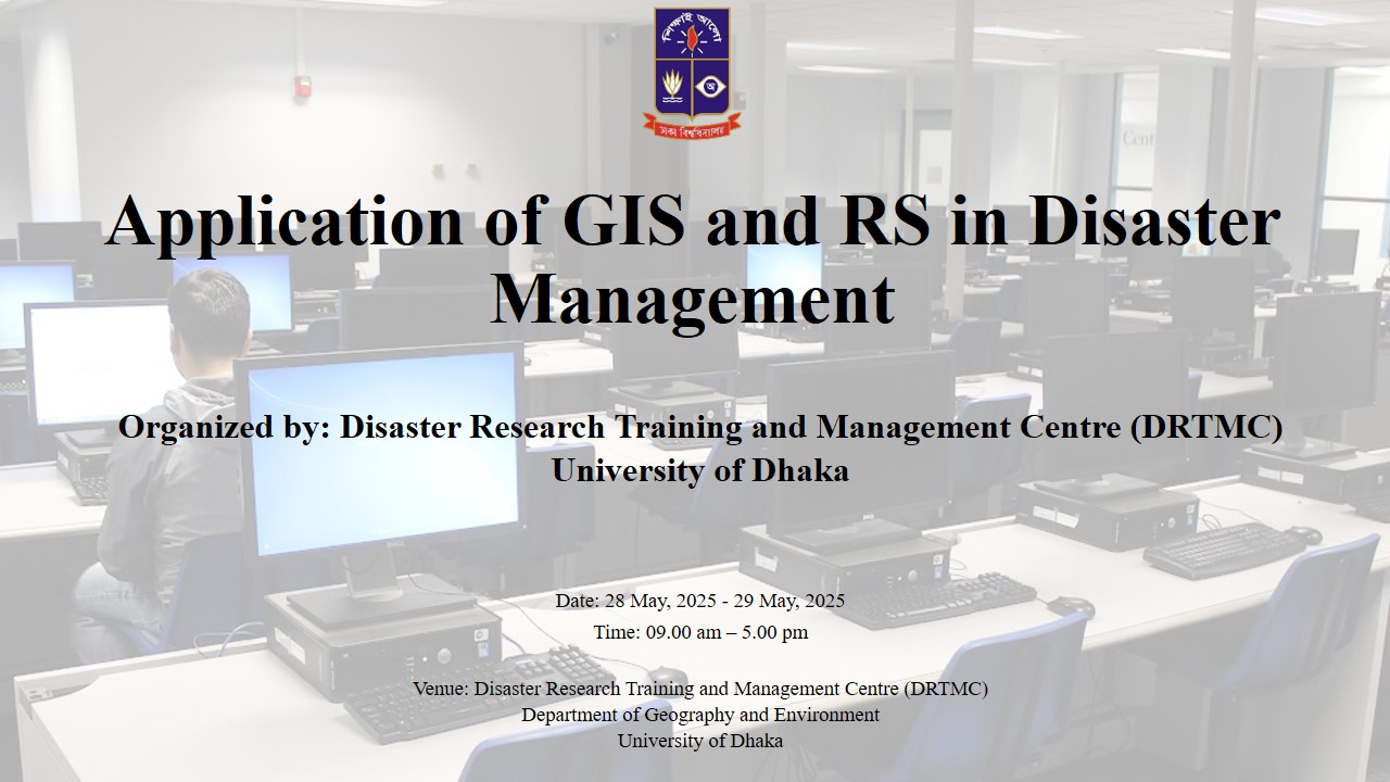
2-Day Workshop on Application of GIS and Remote Sensing in Disaster Management
Organized by: Disaster Research Training and Management Centre (DRTMC), Department of Geography and Environment, University of Dhaka
Date: 13 - 14 July 2025
Target Audience: Disaster Management Professionals, Volunteers, Academicians, and Researchers
Venue: DRTMC, Department of Geography and Environment, University of Dhaka
Overview
This 2-day workshop is designed to provide participants with a comprehensive understanding of Geographic Information Systems (GIS) and Remote Sensing technologies for effective disaster management. The module combines theoretical foundations, practical demonstrations, and hands-on exercises to equip participants with skills to apply these technologies in pre- and post-disaster scenarios.
Day 1: Theoretical Orientation and Practical Demonstrations
Date: 13 July 2025
Objective: Introduce core concepts of GIS and Remote Sensing, their applications in disaster management, and demonstrate real-world examples using relevant tools.
Morning Session (9:00 AM – 12:30 PM)
-
- 9:00 AM – 9:30 AM: Welcome and Introduction: Overview of the workshop objectives and agenda. Introduction to DRTMC and its role in disaster management.
- 9:30 AM – 10:30 AM: Introduction to GIS: Overview of GIS concepts and tools (ArcMap, ArcGIS Pro, ArcGIS Online, QGIS). Role of GIS in spatial data analysis for disaster management.
- 10:30 AM – 11:30 AM: Introduction to Remote Sensing: Fundamentals of Remote Sensing and its applications. Introduction to Google Earth Engine for accessing and analyzing satellite imagery.
- 11:30 AM – 12:30 PM: Integrated Disaster Management Approaches: Frameworks for risk and vulnerability analysis. Strategies for preparedness, emergency response, and post-disaster recovery. Role of GIS and Remote Sensing in each phase.
Lunch Break: 12:30 PM – 1:30 PM
Afternoon Session (1:30 PM – 5:00 PM)
-
-
- 1:30 PM – 3:00 PM: Applications of GIS and Remote Sensing in Disaster management: Cyclone and tidal surge mapping. Flood risk assessment and monitoring. Riverbank erosion monitoring. Water stress monitoring and mitigation. Fire incidence mapping. Drought monitoring and mitigation. Monitoring salinity intrusion in coastal areas
-
-
- 3:00 PM – 4:30 PM: Practical Demonstrations: Live demonstrations using: ArcMap: Creating hazard maps. ArcGIS: 3D visualization of disaster-prone areas. ArcGIS Online: Sharing and collaborating on disaster data. Google Earth Engine: Real-time satellite data analysis for disaster monitoring.
- 4:30 PM – 5:00 PM: Q&A and Wrap-Up: Discussion on demonstrated tools and their applicability. Instructions for setting up Google Earth Engine accounts.
Day 2: Hands-On Practice and Problem-Solving
Date: 14 July 2025
Objective: Enable participants to apply GIS and Remote Sensing tools through hands-on exercises and explore data sources for continued learning.
Morning Session (9:00 AM – 12:30 PM)
-
-
- 9:00 AM – 10:30 AM: Hands-On Exercise – GIS Analysis for Flood Management: Participants will use ArcGIS, ERDAS Eamagine and Google Earth Engine
-
-
- Import and process flood-related spatial data.
- Perform spatial analysis (e.g., flood risk zoning, vulnerability mapping).
- Generate maps and reports.
-
-
- 10:30 AM – 11:30 AM: Hands-On Exercise – Remote Sensing with Google Earth Engine
-
-
- Participants will: 1) Access satellite imagery for a recent flood event.
2) Analyze land cover changes and flood extent. 3) Visualize results using Google Earth Engine’s interface.
- 11:30 AM – 12:30 PM: Preparing Maps and Reports: Guidance on creating professional maps and reports for disaster management. Best practices for data visualization and communication.
Lunch Break: 12:30 PM – 1:30 PM
Afternoon Session (1:30 PM – 5:00 PM)
-
- 1:30 PM – 3:00 PM: GIS and Remote Sensing Data Sources: Overview of open-access data sources (e.g., USGS, Copernicus, OpenStreetMap). How to access and integrate datasets for disaster management. Demonstration of data retrieval using Google Earth Engine and other platforms.
- 3:00 PM – 4:30 PM: A Path Forward: Resources for continued learning (e.g., online courses, communities, documentation). Recommendations for integrating GIS and Remote Sensing into participants’ workflows. Discussion on challenges and opportunities in disaster management.
- 4:30 PM – 5:00 PM: Certificate Distribution and Closing: Awarding certificates to participants who completed all sessions and exercises. Closing remarks and feedback collection.
Hardware and Software Requirements
- Prerequisite: Each participant must bring a laptop with ArcGIS and ERDAS Imagine installed.
- Participant Responsibilities: Participants are required to create a Google Earth Engine (GEE) account prior to the training. Basic familiarity with GEE is highly encouraged.
Certificates
- Awarded to participants who attend all sessions and complete all exercises.
