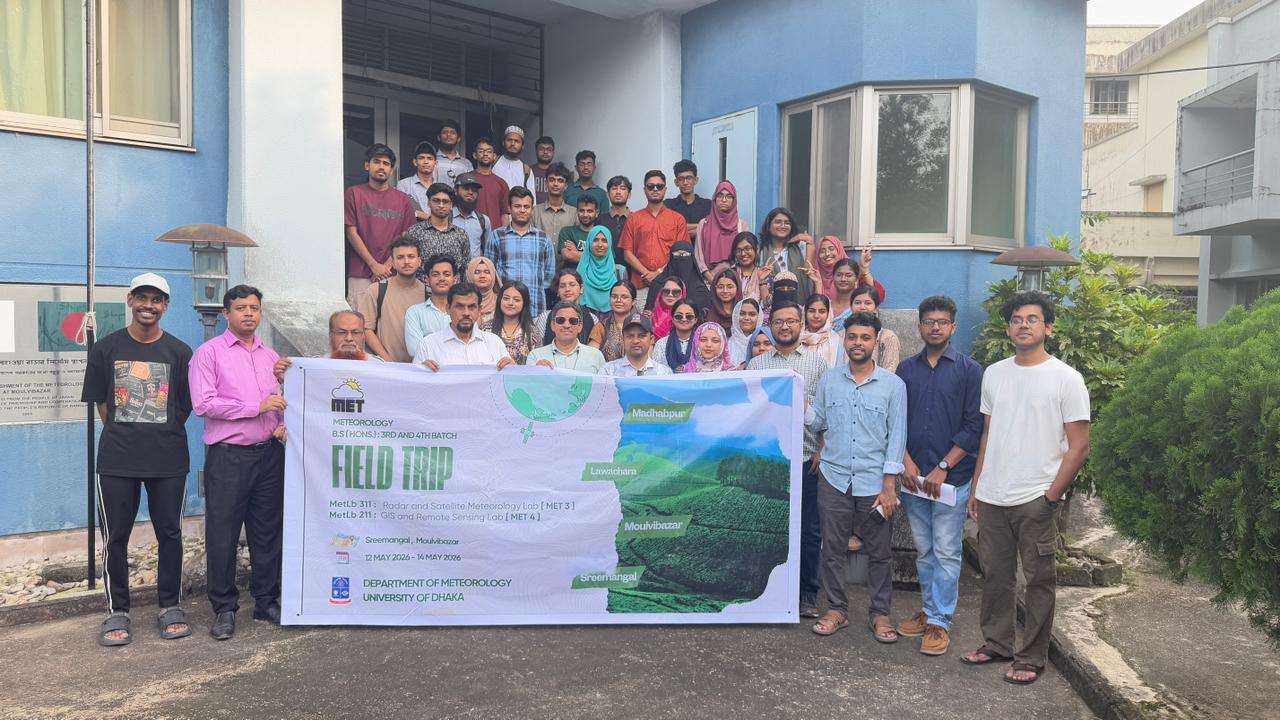
Students from the 3rd and 4th batches of the Department of Meteorology, University of Dhaka, participated in a specialized academic field program in Sreemangal, Moulvibazar, during the pre-monsoon season. The program emphasized the practical application of advanced meteorological techniques, field observations, and observational research. The field trip was conducted under the supervision and guidance of Dr. Md. Rabiul Awal, Assistant Professor and Chairman; Aishia Fyruz Aishi, Lecturer; Pronab Das, Lecturer; and Dr. Mohan Kumar Das, Guest Teacher, who guided the students throughout the program and supported their hands-on learning and research activities. This field-based academic initiative provided students with valuable opportunities to connect theoretical knowledge with practical meteorological observations and enhance their understanding of weather and climate processes in the field.
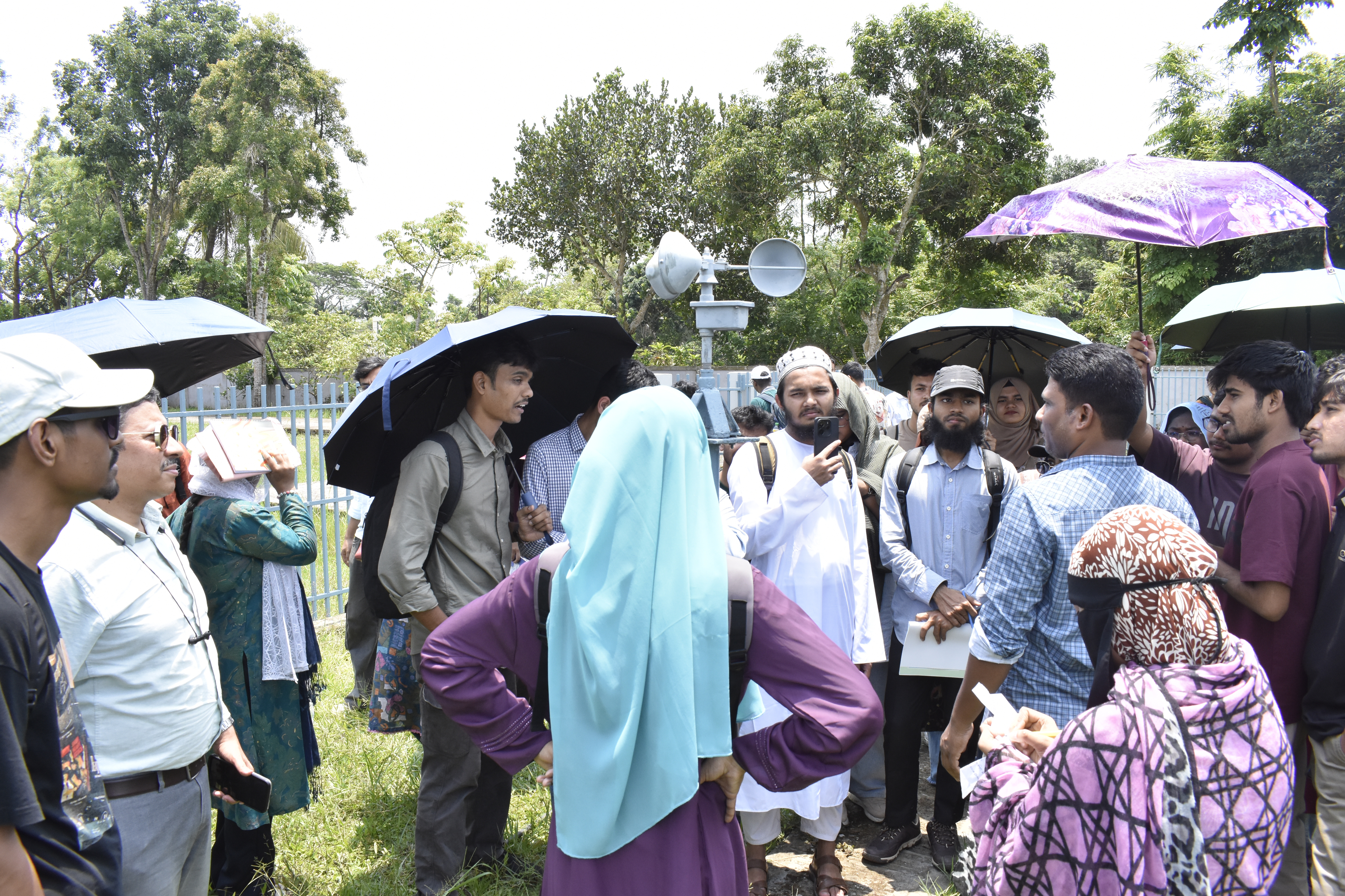
3rd Batch: Radar & Satellite Meteorology Field Program
The 3rd Batch of the BS Hon’s 3rd Year program engaged in an intensive field program focused on Radar and Satellite Meteorology, emphasizing practical weather observation and monitoring.
- Day 1: Hands-on Data and Field Exposure
- Interactive sessions with critical satellite data (INSAT-3D/3DR, Himawari, BMD, Agartola).
- Field visits to the BMD Srimangal Observatory and Moulvibazar Radar Station.
- On-site monitoring of cloud and rainfall systems.
- Day 2: Research and Analysis
- Students conducted integrated research, combining radar, satellite, and ground-based observations.
- The day culminated in evening presentations where students showcased their research findings.
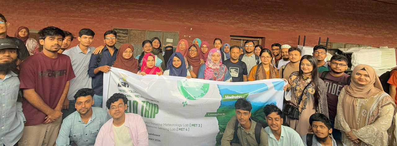
4th Batch: GIS and Remote Sensing Field Program
The 4th Batch engaged in an intensive field program in Moulvibazar as part of METLB-211: GIS and Remote Sensing Lab, emphasizing the practical application of advanced GIS and remote sensing techniques. On 13 May 2026, 19 students participated in this trip, organized into four groups to study land cover characteristics across Moulvibazar Pourashava, Mostafapur, Chandnighat, and Ekatuna Union.
- Day 1: Field Survey and Data Collection
- Preparation of preliminary land cover maps utilizing satellite imagery.
- Field visits to study areas, where groups collected land cover data directly through field observations and GPS-based methods.
- The field experience was marked by student enthusiasm, teamwork, and an adventurous spirit.
- Day 2: Classification and Analysis
- Supervised classification integrating field and satellite data.
- Accuracy assessment and comparison between supervised and unsupervised classification results.
- Presentation and discussion of research findings based on field observations.
This program successfully bridged theoretical knowledge with practical application, enabling students to analyze real-world monsoon systems and significantly enhance their technical and analytical skills. The field trip was not only academically enriching but also a memorable experience, reflecting the students’ enthusiasm, teamwork, and adventurous spirit.